
Tracing a Cerritos Street by Address
The most reliable Cerritos street directory method is a short chain of official records. Start with one exact address. Capture the AIN and situs fields. Then use the parcel map to see the surrounding lots, obtain ownership information through the lawful county channel, and move to the recorder only after the likely name and year are known. Each step answers a narrower question than the phrase “who lives here.”
- Locate the parcel. Enter the address in the Los Angeles County Assessor Portal. If the result fails, try the full street format, an AIN, or nearby cross streets for a corner, multi-unit, vacant, or newly enrolled parcel.
- Save the parcel keys. Record the AIN, situs address, legal description, use, building facts, map links, and roll effective date. The public portal does not show the owner name.
- Walk the map. Open Cerritos GIS, click the target parcel, and pan along the street. Select adjacent polygons one by one; the map is a block tool, not a ready-made resident list.
- Move to title records. Use the Assessor counter or another authorized county channel for the current owner, then search that name as a grantee in the RR/CC name-and-year index at Norwalk.
- Add address history. Check city permits, planning files, and verified reverse-directory collections. Use voter tools only through their personal or approved-purpose routes.
When the goal shifts from a whole street to one person, the Cerritos resident lookup workflow gives the name, date, and role checks a separate focus.
Cerritos Records Along a Street
A street directory becomes useful when each record is labeled by what it actually shows. The Assessor ties an address to a parcel. Cerritos GIS adds map, zoning, aerial, City, Assessor, and entitlement context. The Registrar-Recorder/County Clerk connects a known name and year to a recorded instrument. City permits add dates and project roles. Historical reverse directories can identify a listed occupant for a particular edition.
| Record Set | Keeper | What It Shows | Access |
|---|---|---|---|
| Assessor parcel roll | Los Angeles County Assessor | AIN, situs, use, values, structures, map links | Free address/AIN search; owner route is separate |
| Cerritos GIS | City Community Development | Adjacent parcels, zoning, aerials, City data, entitlement history | Free map, measure, select, and print tools |
| Deeds and liens | LA County RR/CC | Grantor, grantee, legal description, recorded dates, instruments | In-person name/year index; copies ordered separately |
| City permits and plans | City Clerk and Building & Safety | Work history, project dates, applicants, design contacts | Request; plan viewing and copies have limits |
| Approved voter file | California Secretary of State or LA County | Parsed street and precinct fields for a permitted use | Application and statutory-use review |
| Reverse directories | Library or regional collection | Listed subscriber or occupant at a published address and year | Verify volume, geography, and in-person or digital access |
The chain works through stable identifiers. AIN and legal description help match a parcel to a deed. A permit address supplies a project date. A directory year supplies an occupant clue. A street name alone is weaker because postal labels, city names, and historical coverage can vary. A good by-address note records the source, date, role, and uncertainty for every name.
Cerritos Assessor Search Fields
The county property search is the first practical stop in a Cerritos street directory because it accepts a physical address even though it does not accept an owner name online. The map help advises using nearby cross streets when a corner, multi-unit, vacant, or new parcel does not resolve in the first pass. Do not treat a blank result as proof that a parcel or person does not exist.
| Search by AIN or Address | Required autocomplete or text field. Use the AIN when address spelling fails. |
|---|---|
| Basic Search | Standard address and AIN route. |
| Legal Search | Use tract, lot, or legal-description clues taken from a deed or map. |
| Map Search | Zoom, pan, and select a parcel by location. |
| Assessor Records Effective | Date label for the displayed roll snapshot. |
| Parcel result | AIN, situs, use, status, values, building facts, map links, and related parcel detail; owner fields are withheld online. |
The situs address is the physical location. A mailing address is where assessment or tax correspondence goes. If an authorized counter record supplies both, a match can support an owner-occupancy inference, but it does not identify all household members. The County's public interface remains a parcel tool.
Assessor public-counter information explains the in-person ownership route. Property-tax payment questions belong with the Los Angeles County Treasurer and Tax Collector, not the RR/CC deed index.
Walking Cerritos GIS Parcel by Parcel
Cerritos GIS is the best official way to move from one address to the lots around it. The City describes a 24-hour viewer with zoning, aerial imagery, City layers, Assessor data, and entitlement history. Map browse, zoom, pan, parcel selection, measure, and print tools are documented. The live application does not expose a verified automated radius or buffer control, so a careful researcher should click adjacent polygons rather than promise a distance-based roster.
Start at the target parcel. Select the lots beside it, across the street, and behind it. Record each AIN and situs label before moving on. Measure can calculate distance, area, or perimeter, while print can create a map or property report. A map can show the physical relationship between parcels and the City's land-use context. It cannot turn a boundary into a list of occupants.
The zoning and land-use page used for the Cerritos street directory capture is the City's entry point to the GIS viewer.
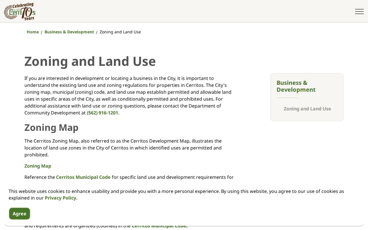
The map image pairs well with an AIN list because it keeps the block's shape and jurisdiction visible while names are checked through their own custodians.
Cerritos Deeds at the Norwalk Counter
Recorded real-estate documents in Los Angeles County are indexed alphabetically by grantor, grantee, and recording year. The RR/CC offers no Internet address search and does not accept telephone index-search requests. The Norwalk headquarters reviews 1851-1957 records downstairs and 1958-present records upstairs, by appointment. County pages also describe the series as beginning in 1850, so preserve the source's 1850/1851 distinction when stating coverage.
For a street directory, first obtain the owner through the Assessor's lawful counter or data route. Search that person as a grantee in plausible years. Open the acquisition instrument, capture the document number, date, legal description, AIN when present, and grantor. Search the grantor as an earlier grantee. A deed records title activity. It does not prove that the grantee occupied the home.
- Grantor
- Transferor or seller. Try initials, spelling variants, and entity names.
- Grantee
- Transferee or buyer. Often the current owner's first deed key.
- Recording year
- Year used to find the alphabetical index volume, not always the sale year.
- Document number
- Identifier for the full copy order and chain notes.
- Legal description
- Recorded parcel language that helps reject a same-name deed on another lot.
The RR/CC copy-request route can process an online or mailed order when the document data are known. The County says copies are complete documents, not selected pages, and online orders can take up to 20 working days.
The County's real-estate-records FAQs restate the name-and-year index rule. Its recording requirements show why a legal description and parcel number help confirm the correct instrument.
The FAQ capture supplied for the Cerritos street directory shows the County's office-only index rule and the limits of address searching.
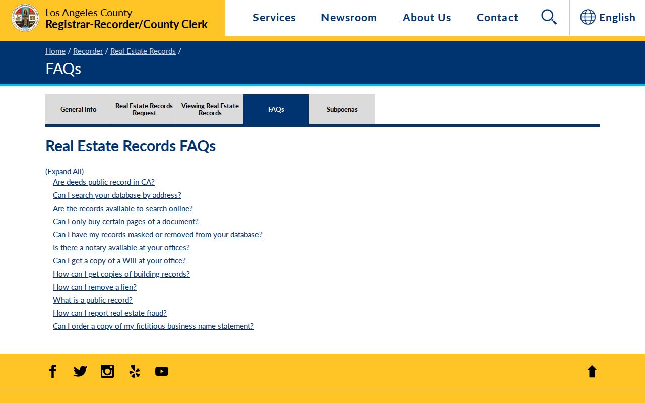
Read the FAQ alongside the copy-request instructions so an index visit and a document order are not confused.
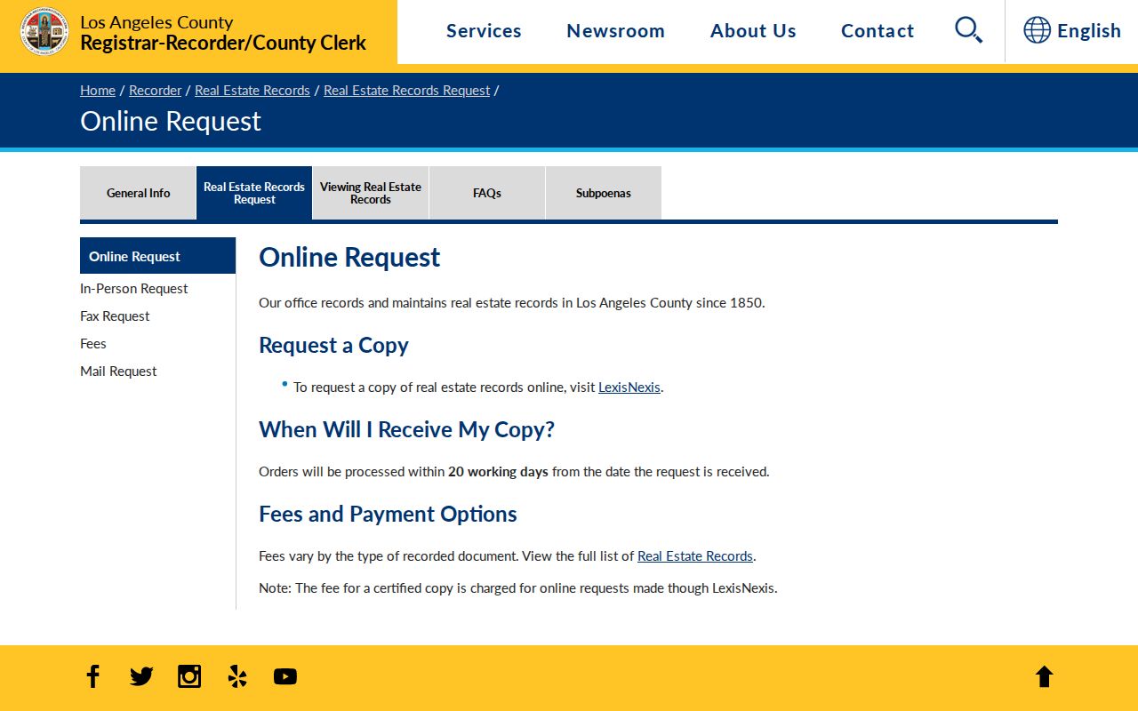
The captured request screen is a reminder to separate an index search from a copy order. The search finds the document; the order supplies the complete instrument.
Cerritos Permits Add Address Dates
City permits and planning files add a time layer to a street directory. The City Clerk accepts a focused request for a permit record, while Community Development and GIS can expose entitlement history and land-use context. The City's Building and Safety information is the practical route for plan-viewing questions. A permit can connect an address to a project date, applicant, contractor, or design professional. It cannot list every person who lived at the parcel.
Building plans have tighter rules than ordinary permit copies. Viewing is arranged through Building and Safety at (562) 916-1209. Copies are limited to the property owner or someone authorized by the original design professional, and off-site retrieval may take about seven to ten days. If a permit file is not online, give the City a precise address, record class, and date range under the California Public Records Act.
- Permit file
- May show work type, project date, address, applicant, or contractor.
- Planning entitlement
- May show a variance, conditional use, precise plan, or other site approval.
- Plan viewing
- Coordinate with Building and Safety; a public request does not guarantee copying.
- CPRA request
- Use the City Clerk with an identifiable record and date range; the ten-day decision is not a production deadline.
Cerritos Street Directory and Reverse Volumes
Historical reverse or criss-cross directories can invert the usual search. Instead of starting with a surname, a researcher starts with a house number and street, then reads the listed subscriber or occupant for that edition. The Los Angeles Public Library's verified regional collection includes city directories from 1873-1942 and digitized Los Angeles city and street directories from 1873-1970, with uneven Los Angeles County coverage. Cerritos Library does not publish a verified year-by-year Cerritos-only run.
Check the volume's geography before treating a line as a Cerritos result. Search both Cerritos and Dairy Valley, plus Artesia, Norwalk, Bellflower, Los Angeles County, and tract names. An entry can omit unlisted people, use initials, or reflect a subscriber rather than every household member. Pair it with a deed, census schedule, obituary, or permit date. The historical shelf belongs to the Cerritos city directory page rather than this current street chain.
- Parcel
- A mapped unit of land identified by an AIN and legal description.
- Situs address
- The physical location used by the Assessor and GIS, distinct from a mailing address.
- Plat
- A recorded or planning map that lays out lots, blocks, streets, and tract relationships.
- Criss-cross directory
- An address-order section that can show a listed occupant or subscriber by street and number.
Cerritos Voter Records by Street
The public voter-status form cannot browse a Cerritos street. LA County asks for surname, birthdate, house number, and ZIP Code so one person can check a match. California's statewide tool asks other personal fields. An approved voter file may contain parsed street parts, city, ZIP, precinct, status, and participation history, but Elections Code sections 2188 and 2194 limit who may request it and why.
That distinction matters for a by-address project. Do not turn a status match into a block list. Do not use a file request for a personal neighborhood roster, solicitation, or harassment. Safe at Home participants and confidential fields need special protection. Parcels and GIS are the proper starting points for a whole street; voter records are a controlled confirmation channel.
California's voter-status route is the appropriate public starting point for an individual checking a registration record. The LA County status route uses its own matching form, while the state voter-file request is limited to approved purposes. None is a resident directory download.
What Cerritos Street Directory Cannot Show
A Cerritos street directory can show parcels, recorded title parties, public project files, approved election data, and historical listings. It cannot provide a complete household count. Utility accounts, delivery records, DMV addresses, library patron records, unlisted directory entries, minors, and private association rosters are not general public street sources. A mailing address can differ from the situs, and a title party may not be the person who occupies the parcel.
California's Safe at Home program can substitute a mailing address for qualifying protected people. The federal Driver's Privacy Protection Act restricts motor-vehicle address data. Cerritos Library treats patron and research-use records as confidential. A missing name or address therefore needs a role-based explanation, not a guess. Label each finding as owner, grantee, applicant, registrant, listed occupant, or map parcel.
Lawful use. Cerritos address records support personal research, family history, reconnecting, and civic understanding. Never use a street lookup to stalk, harass, intimidate, or harm a person.
For a correction, contact the custodian that created the record. For a modern whole-street question, repeat the parcel method rather than claiming that any one source is a complete Cerritos residents directory.