
Cerritos Neighbors Around One Address
A Cerritos neighbors search should begin with the sources that actually describe a block. The parcel map shows spatial relationships. The Assessor shows selected facts for one parcel. A recorded deed identifies title parties only after a name and year search at Norwalk. A planning notice radius can contain owner names and mailing addresses for a defined project. Neighborhood Watch supplies a mediated community connection, while approved voter data has a restricted statutory route.
| Source | What it shows about a block | Access |
|---|---|---|
| Cerritos GIS | Adjacent parcel shapes, zoning, aerials, City and Assessor layers, entitlement history | Free viewer; click, browse, measure, and print |
| LA County Assessor | AIN, situs, use, structure, values, status, map links for a selected parcel | Free address/AIN search; owner fields suppressed online |
| RR/CC deed index | Recorded title parties, legal descriptions, liens, and dates for identified parcels | In-person name/year index at Norwalk |
| Planning radius file | Owner and mailing details gathered for a prescribed 500-foot notice radius | Project-specific; request or inspect through the lawful channel |
| Neighborhood Watch | Connection to a local group and Watch Captain when a group exists | Community Safety mediation; no public member roster |
| Approved voter file | Parsed residence and precinct fields for a permitted purpose | Application and use review; not a casual block browse |
Owners, title parties, applicants, registrants, listed occupants, and community contacts are not interchangeable. A block table should identify that role beside each parcel or name. Household members, private association members, utility customers, and delivery accounts are not supplied by the public parcel workflow.
Open a Cerritos Parcel and Pan Out
The official adjacent-parcel method begins with the target address in Cerritos GIS. The City documents map browse, zoom, pan, parcel selection, measure, print, zoning, aerial imagery, City data, Assessor data, and entitlement history. The landing page does not document a live radius or buffer tool. Click the parcels that touch or face the target instead of promising an automatic distance search.
- Locate the target parcel and record its AIN, situs, use, and map position.
- Click the lot beside it, the lot behind it, and the lots across the street. Save each AIN before panning.
- Use layers to compare zoning, aerial context, City data, Assessor facts, and entitlement history.
- Use measure for distance, area, or perimeter and print a map or property report when a block diagram helps.
- Move to the Cerritos street directory only when the question expands from the immediate block to a whole named street.
The map establishes which parcels are near one another. It does not identify every person inside them. Owner data require the relevant county channel, and occupancy cannot be inferred just because one name appears on a title record.
Cerritos GIS and Adjacent Lots
The City's zoning and land-use page is the verified gateway to Cerritos GIS. The viewer offers a spatial way to see why two nearby parcels can have different zoning, entitlement history, aerial context, or map shape. It is especially useful when an address has a corner, unit, tract, or mailing-label issue.
The City describes the information as filtered and non-sensitive. Treat parcel selection as a way to build a list of AINs and sites. For a formal 500-foot notice radius, the City's precise-plan application requires a numbered base map and typed owner names and addresses, including parcels in adjacent cities. That project list is a notice workflow, not a general public neighbor directory.
The City planning referral page captured for this block research shows the municipal layer that sits beside the parcel map.
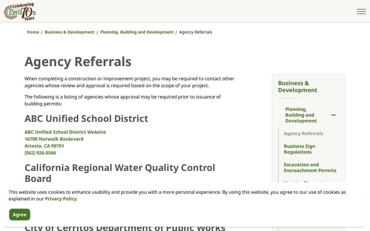
Planning context can explain a parcel's public history without turning the map into a list of household members.
Cerritos Neighborhood Watch Contacts
Cerritos Neighborhood Watch is the verified community layer for many block questions. The City says groups are ideally built around 15-20 households. Community Safety can tell a resident whether a group exists and, if it does, provide the Watch Captain's name and phone number. If no group exists, staff can help a resident form one. This is a mediated civic connection, not an online member roster.
- Neighborhood Watch
- Ask whether a group exists and request the Watch Captain contact through Community Safety.
- Community Safety
- (562) 916-1266; supports neighborhood participation and referrals.
- Cerritos Sheriff's Station
- 18135 Bloomfield Avenue; non-emergency (562) 860-0044.
- Public roster
- The City does not post a complete member list or household directory.
Cerritos Neighborhood Watch information keeps the contact voluntary and local. Use it to join a civic safety group or ask a block question, not to compile names.
The Cerritos Regional Chamber directory is a different community source. It lists member businesses and categories, not a neighborhood roster or complete city license file.
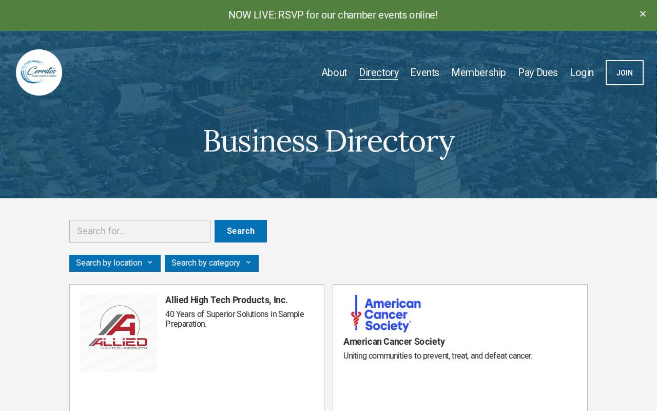
A voluntary public directory can add a civic or business lead, but inclusion does not prove that a listed person lives on the nearby block.
HOA Names Are Not Member Directories
A 2025 Cerritos tree-removal form names complexes and association identifiers used to route a city record. The list includes Granada Park, The Grove at Cerritos, Parkside, Pioneer Villas, Plaza Walk, Royal Terrace, Shadow Park, Sundance, The Palms, Tiburon, Woodvale, Boardwalk, Carmenita Village, Cerritos Terrace, Cerritos Garden Apartments, Cerritos Villas, Concord Place, Courtside or The Courts, Del Rio HOA, Emerald Villas, Encore, Fountain Walk, and Four Trees Apartments. Those names identify record contexts. They do not establish that an association publishes its member households.
| Public identifier | Safe use in block research | Do not infer |
|---|---|---|
| Complex or HOA name | Locate the relevant city form, project, or administrative record | Complete member or household list |
| Tree-record address ending in T | Match the City's tree-routing record | Ordinary deliverable address |
| Public officer or management contact | Ask how to request an archival or current association record | Permission to disclose members |
The form's `T` suffix is a local quirk. It belongs to the City's tree-record workflow and should not be copied as an ordinary postal address. Association rosters are ordinarily private unless an organization or custodian makes a specific historical item available.
Block-Level Cerritos Voter Rules
The county voter-status lookup asks for a surname, birthdate, house number, and ZIP Code. It verifies the person's own registration and cannot browse the names at a nearby address. The statewide file can contain residence street components, city, ZIP, precinct, status, and participation history for an approved requester, but California Elections Code section 2194 and related regulations limit purposes and fields.
Driver-license and ID numbers, the last four Social Security digits, unique identifiers, and signature images are excluded from public use. Ballot participation means whether or how a ballot was cast, never candidate or ballot choices. Safe at Home and confidential voters need added protection. For a block lookup, parcels and GIS should come first.
California's voter-information rules explain the application, permitted uses, security obligations, and penalties. A voter file is not a casual source for neighbors.
Public Facilities Add Block Context
Official facility and license searches can help explain a public place near a block without naming private households. Los Angeles County Public Health's Environmental Health search can return a facility or inspection record by name, address, or city. California license tools can confirm a public credential or business location. These sources describe regulated facilities and public affiliations, not who lives in nearby parcels.
The County public-health search in the manifest is a useful example of address-based public context. Read its result as a facility record and check the date, address, and record type.
A facility result can help orient a map or explain a public use. It does not add household names to the Cerritos neighbors record.
Official Sources for Cerritos Neighbors
Official block research is slower but role-specific. The Assessor describes the parcel. GIS describes the map. A deed names a recorded party. A permit names a project role. A community group supplies a voluntary contact. Commercial neighbor tools combine public and licensed data, but they may merge names, treat an owner as an occupant, preserve an old address, or infer a household link without showing the source.
| Route | Strength | Limit |
|---|---|---|
| County and City records | Named custodian, defined fields, dated role | Access limits, fees, redactions, and separate systems |
| Neighborhood Watch or association | Voluntary local contact and civic connection | No public member roster or complete household claim |
| Commercial people-data category | May surface leads across many datasets | Cost, stale data, merged identities, and unclear source role |
Cerritos business-license information can verify a local authorization or public business contact. It cannot turn a licensee into a neighbor. A Chamber listing is voluntary, and a county facility result has its own record purpose.
The City business-license capture shows a local official route that can distinguish a public business record from a private household record.
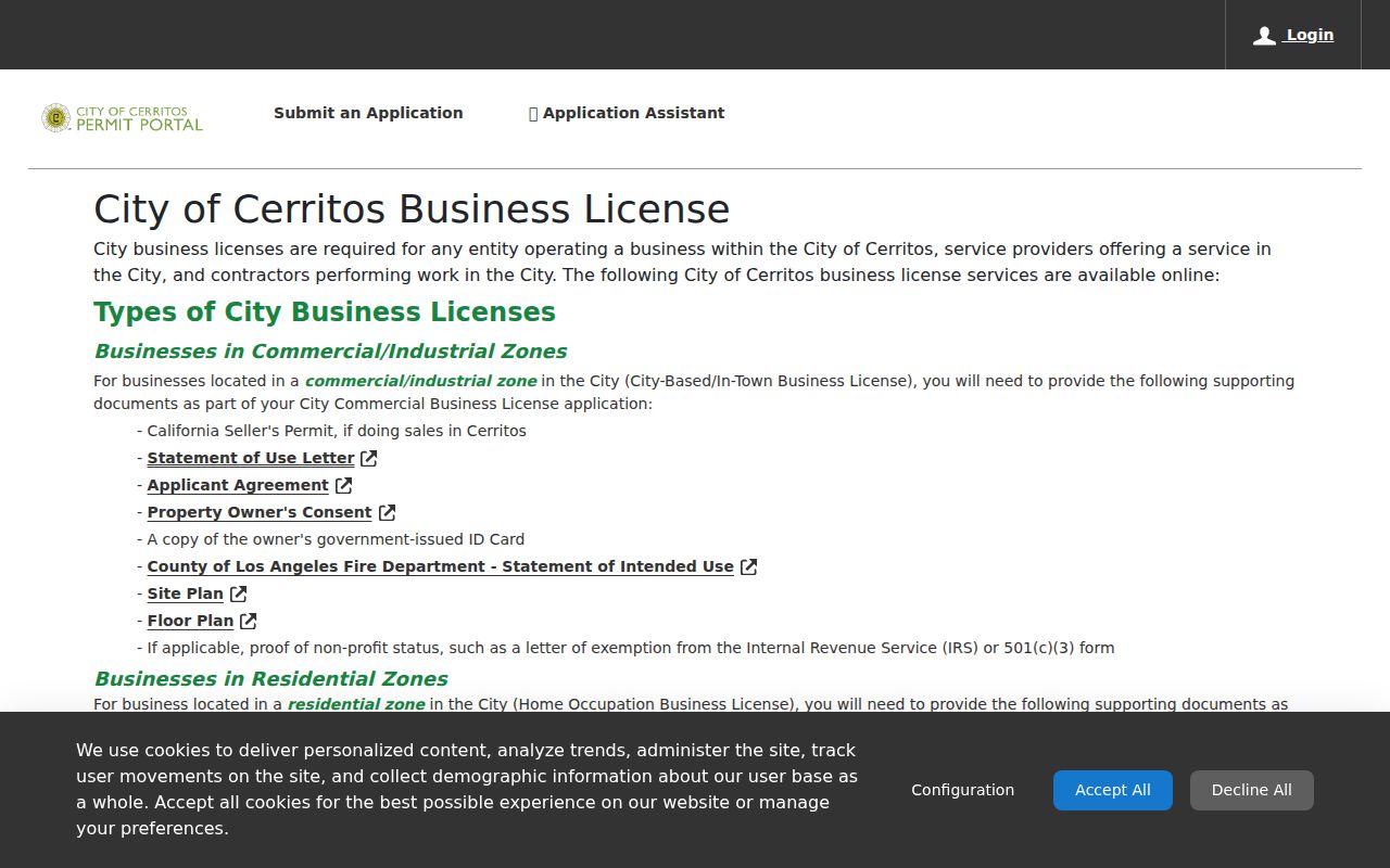
Keep the role and source visible whenever a public business record sits beside a parcel map.
What Cerritos Neighbors Cannot See
A Cerritos neighbors lookup cannot expose every household member, private association member, utility customer, delivery account, library patron, minor, or DMV record. Safe at Home can protect a qualifying person's address with a substitute mailing address. Voter files have statutory use rules. The Assessor suppresses owner data online. A missing name is not a license to guess.
Use a block lookup for getting to know a place, joining a civic group, reconnecting with a known person, or understanding parcel history. Stop when the record is protected, when a custodian denies access, or when the question moves from public place context to a private person's whereabouts. If the goal becomes a whole named street, use the street-focused process rather than expanding a block list.
Lawful use. Cerritos neighbors research is for personal, lawful, and civic purposes. Never use a parcel, name, or community contact to stalk, harass, intimidate, or harm anyone.
Good neighbor research is careful about people. It keeps parcels, public roles, voluntary contacts, and private household facts in separate lanes.